
Dunstable Yesteryear: St Peter's Road
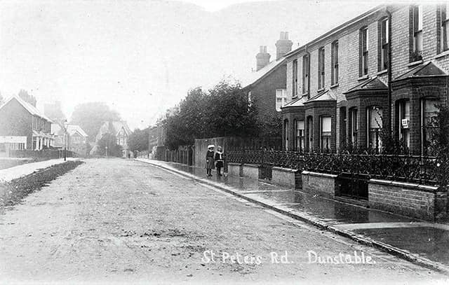

The British Land Company, founded in 1856 to initiate housing developments nationwide, was the instigator of the England’s Estate in Dunstable in the 1880s.
The postcard here, helpfully labelled St Peter’s Road, Dunstable, shows one of the streets which the company created in what has been described as the town’s very first housing estate. Other “new” roads included Alfred Street where most houses were built to a similar design to those shown in the photograph.
The location of the view in the picture is not immediately obvious, but examination of the buildings in the area identify it as showing the scene in St Peter’s Road when travelling from Station Road just before the turning on the left into Alfred Street. The junction with Priory Road is not visible.
The date of the postcard has been listed as “pre 1914” but it is probably much earlier than that. St Peter’s Road was formally made up and adopted as a public highway in 1901 and the road surface was clearly unfinished when the photo was taken.
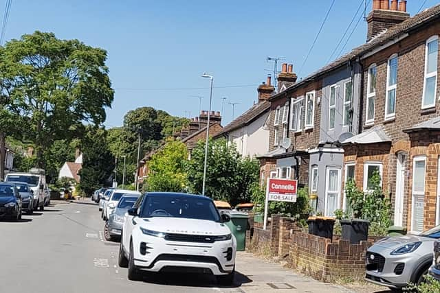
England’s Lane adjoins Alfred Street and this seems to have been the basis of the estate’s original name. The lane runs down towards High Street South, crossing Priory Road, but the section alongside the present Priory Academy was renamed Britain Street in around 1910. The lane linked with the original Britain Street which was the narrow route from the high street which still exists.
Yesteryear is compiled by John Buckledee, chairman of Dunstable and District Local History Society.