yesteryear


At first it was thought that they might be traces of the foundations of a large building. But then more and more identical holes were found, spaced at regular intervals.
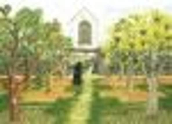
A new book by Barry Horne, with contributions from Brian Dix and David and Vanessa Hornby, suggests an answer - the holes were planting pits for a large apple orchard, providing the friars with a plentiful supply of cider.
Advertisement
Hide AdAdvertisement
Hide AdVanessa Hornby has painted the picture on this page, giving an idea of how the orchard may have looked, viewed from the Bull Pond Lane area, with the Friars’ church in the background.
The Friary was on the opposite side of the Watling Street to the town’s other great monastic building, the Priory, which housed canons of the Augustinian order.
The picture is one of a lavish series of coloured illustrations included in Early Dunstable In Maps and Pictures which is on sale from Barry Horne (01525 221219) price £12.
Barry uses evidence from numerous maps and documents to suggest what medieval Dunstable must have looked like when it was created as a “new town” by King Henry I.
Advertisement
Hide AdAdvertisement
Hide AdAnd he puts forward a number of intriguing suggestions, including the possible site of the earliest windmill in England (near Beecroft Way), and the possible site (in Kingsway) of King Henry’s long-lost Dunstable hunting lodge.
Yesteryear is compiled by John Buckledee, chairman of Dunstable and District Local History Society.