
'No stopping' red route expansion planned for Luton town centre
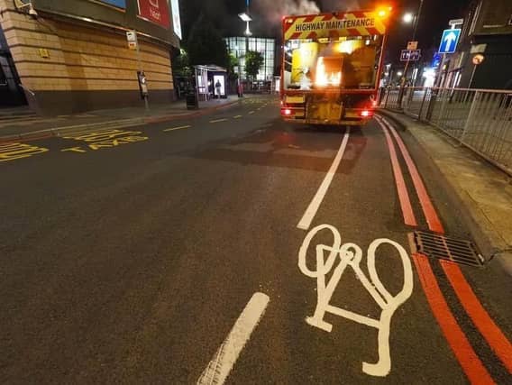

More red routes are planned by Luton Borough Council to improve traffic management and road safety in the town centre.
A letter to residents confirms the local authority is planning to extend these restrictions to Bute Street, Cheapside, Church Street, Guildford Street, John Street, Library Road, Melson Street, Power Court, Silver Street, St Mary’s Church Lane, St Mary’s Road, St Mary’s roundabout and Vicarage Street.
Double red lines mean that vehicles cannot stop at any time, including loading or unloading, according to LBC’s website. There are some exceptions allowed to stop to let passengers in and out, including Hackney Carriages, private hire vehicles and blue badge holders, while emergency vehicles are exempt, it said.
“The red route restrictions can be enforced by automatic number plate recognition (ANPR) cameras, enabling efficient management of unwanted vehicle stopping, which disrupt traffic flow and creates hazards for cyclists and pedestrians.”
These new town centre red routes would be enforced by camera, as well as civil enforecment officers (traffic wardens) on foot, explained the letter to local residents.
“Vehicles found in contravention of the red route regulations may be issued a penalty charge notice (PCN). The standard fine is £70, which reduces to £35 if paid within 14 days.
“Current pay and display parking places would remain unchanged oin the south side of Guildford Street and on a section of Cheapside. The current bus stoip clearway on Silver Street would also remain unaffected.”
Explaining its reasons, the letter from LBC’s traffic regulation team added: “Red routes reduce traffic congestion and result in quicker journey times, especially during peak periods.
“They make bus services more reliable by reducing delays for public transport. By preventing illegal parking and obstacles to navigate round, roads become safer and this creates a more efficient network for all users.
“Red routes can also help accommodate further improvements to the transport network in the long-term around sutainable travel, such as bus lanes and dedicated cycling paths.”
More than 11,000 PCNs were issued by the council in Bury Park, during the 12 months to the end of September, Labour Beech Hill councillor Javed Hussain said last year in a social media post highlighting traffic flow concerns.
A public consultation was held after LBC published its list of streets where red routes could be operational. Under consideration were Leagrave Road from Selbourne Road to Dunstable Road, Dunstable Road from Westbourne Road to Hatters Way, and Bury Park Road from Leagrave Road to Moor Street.
A one-way system along Kenilworth Road is designed to better manage traffic flows, councillor Hussain wrote on Facebook. Final plans have still to be unveiled for this area.
Red routes were first installed in the town in 2018. The pilot scheme covered the area of the town centre bounded by New Bedford Road, Telford Way, Dunstable Road and Wellington Street.
Windmill Road, Kimpton Road and Airport Way were also included, as well as Marsh Road, Leagrave Road and Dunstable Road, with some later changes made in response to public consultation.